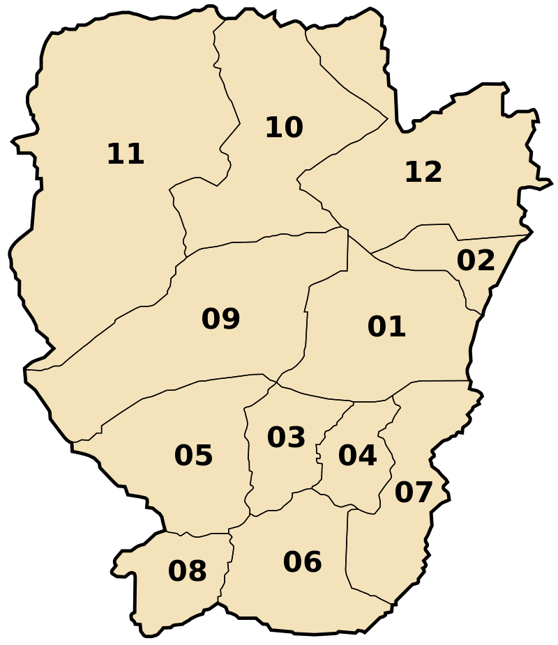
 The Wilaya of NAAMA is located in the south-west of the country between the Saharan Atlas and the Tal Atlas, bordered to the north by the Wilayas of Tlemcen and Sidi Bel Abbas, to the east by the Wilaya of Bechar, to the south, and to the to the west by the Kingdom of Morocco, with an estimated strip of: 250 km.
The Wilaya of NAAMA occupies an area of 29,514.14 km² administratively divided into 07 Daïras and 12 municipalities
Location :The Wilaya of NAAMA is located in the southwest of the country between the Saharan Atlas and the TAL ATLAS. It is bordered to the north by the states of Tlemcen and Sidi Bel Abbes, the Wilayat of El Bayadh to the east and Bachar to the south, and it is bordered to the west by the Kingdom of Morocco with an estimated strip of: 250 km .
- It is bordered to the north by the states of Tlemcen and Sidi Bel Abbes
- The Wilayat of El Bayadh to the east
- Bachar to the south
- It is bordered to the west by the Kingdom of Morocco
Space: The Wilayat of NAAMA occupies an area of 29,514.14 km² and is administratively divided into 07 departments and 12 municipalities.
Weather: the Wilaya of NAAMA is characterized during the year by two seasons: a relatively cold and humid season which extends from november to april and a hot and dry season which extends from may to oc-tober. The presence of ice and it rises in the summer to its highest level.

The Wilaya is divided into 7 districts (daïras), which are further divided into 12 communes or municipalities
1- Naâma
2- Mecheria
3- Aïn Sefra
4- Tiout
5- Sfissifa
6- Moghrar
7- Assela
8- Djeniene Bourezg
9- Aïn Ben Khelil
10- Makman Ben Amer
11- Kasdir
12- El Biod


